CHAPTER 2 | DECORATIONS IN CARTOGRAPHY
Dutch maps and sea charts from the 17th century (1600-1700) were decorated by artists and were extremely valuable. Reliable maps were vital during the perilous maritime trade voyages. A masterful example is a map of Zeeland. Not only do the decorations have clearly distinct sides, but they are also depicted in foreshortened perspective. As a result, the birds on either side are slightly closer to us than the frame containing the text.

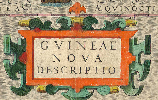
Dutch land and sea maps from the 17th century (1600-1700) were decorated by artists and were extremely valuable. Reliable maps were vital during the perilous trading journeys by sea. On a map of West Africa I found this frame of the (Latin) text ‘Guineae nova descriptio‘ which means: ‘A new description of Guinea‘ (not to be confused with New Guinea in Indonesia). In the image, In the image, notice how the green decorations around the flat orange frame have a light green and a dark green side and are coming towards us in a shortened perspective.

In this artistic decoration from the 17th century , if you look closely, you’ll find the next two examples from the lesson 3D drawing part 1, level 2. The trick was to start with a continuous line and then add a side to it, which gives it a 3D appearance.

Exercise 1: try to frame the name of an existing or invented country with a comparable 3D decoration.

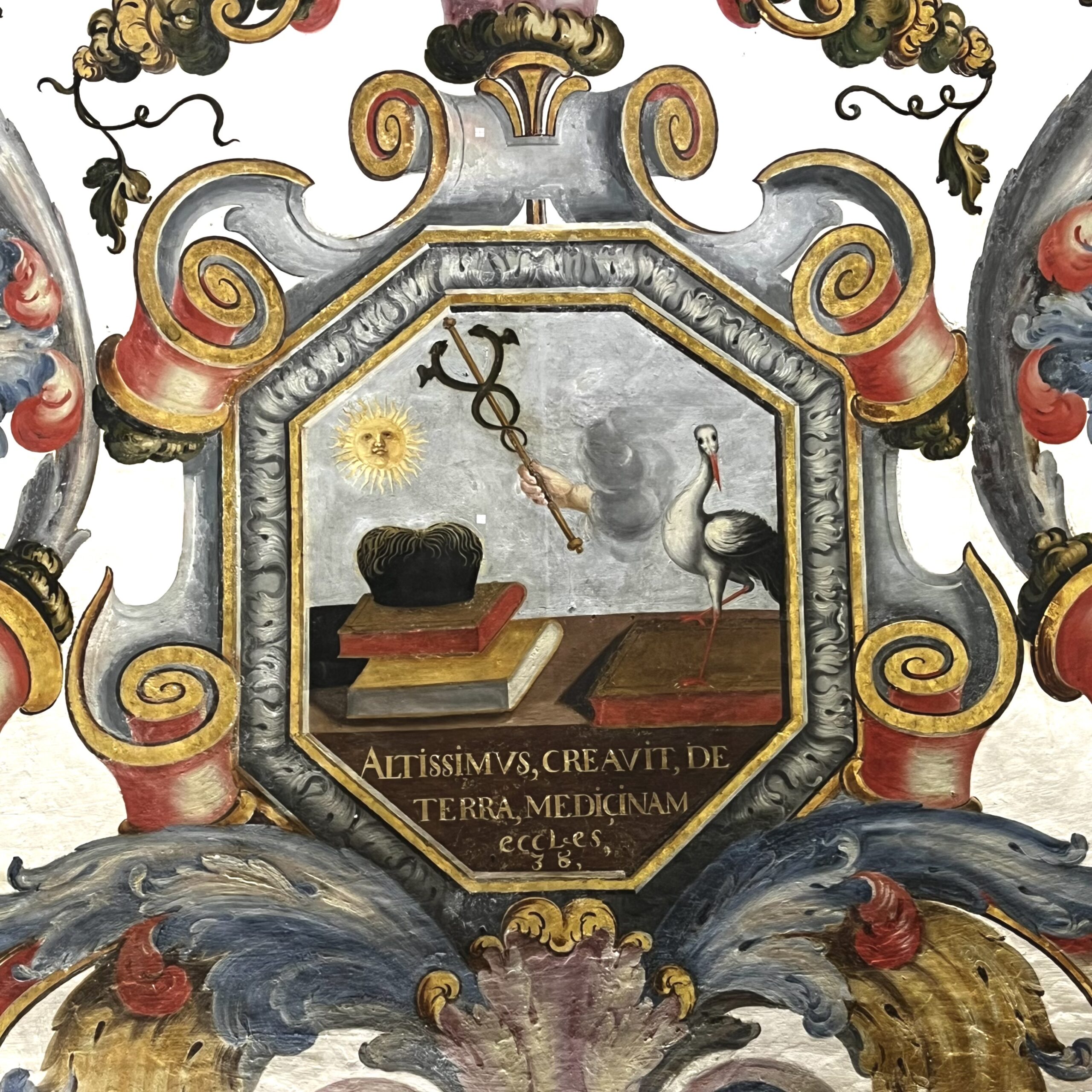
That this way of decorating was applied internationally (and not only in cartography) is evident from the following wall decoration in one of the oldest universities in the world, in Coimbra, Portugal. The painting in the octagonal (8-sided) frame with curls refers to the faculty of medicine. The hand from the cloud with the Aesculapius sign (symbol of medicine) means that the highest medicine comes from God. Three paintings for other faculties of the university have exactly the same decorative frame around it, clearly showing that the artists used a standard model.

EXTRA: Print this Portuguese image, trace the outlines, and color it in with another subject inside the octagon. Use different colors/shades for different sides. It’s a fun way to explore this kind of artwork.
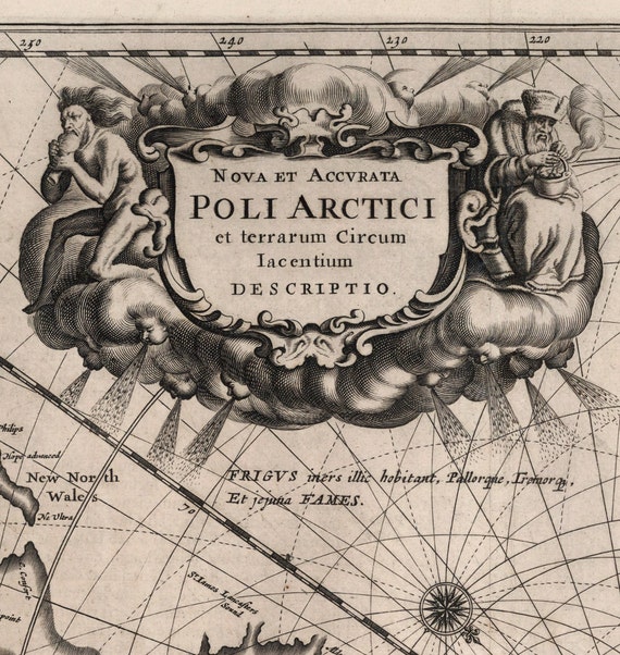
I found a fantastic decoration in a map of the Arctic Ocean. In this decoration the artist even tells a whole story. He hows that it is freezing cold out there, because everywhere from the clouds faces appear which cause harsh winds to blow. The old man on the right tries to warm himself by a fire. The naked man on the left is trying to keep himself alive by eating. Look at how fine lines (hatching) indicate the curves of the clouds, making them look nice and 3D.
